RasterFrames
RasterFrames® brings together Earth-observation (EO) data access, cloud computing, and DataFrame-based data science. The recent explosion of EO data from public and private satellite operators presents both a huge opportunity and a huge challenge to the data analysis community. It is Big Data in the truest sense, and its footprint is rapidly getting bigger.
RasterFrames provides a DataFrame-centric view over arbitrary geospatial raster data, enabling spatiotemporal queries, map algebra raster operations, and interoperability with Spark ML. By using the DataFrame as the core cognitive and compute data model, RasterFrames is able to deliver an extensive set of functionality in a form that is both horizontally scalable as well as familiar to general analysts and data scientists. It provides APIs for Python, SQL, and Scala.

Through its custom Spark DataSource, RasterFrames can read various raster formats – including GeoTIFF, JP2000, MRF, and HDF – and from an array of services, such as HTTP, FTP, HDFS, S3 and WASB. It also supports reading the vector formats GeoJSON and WKT/WKB. RasterFrame contents can be filtered, transformed, summarized, resampled, and rasterized through 200+ raster and vector functions.
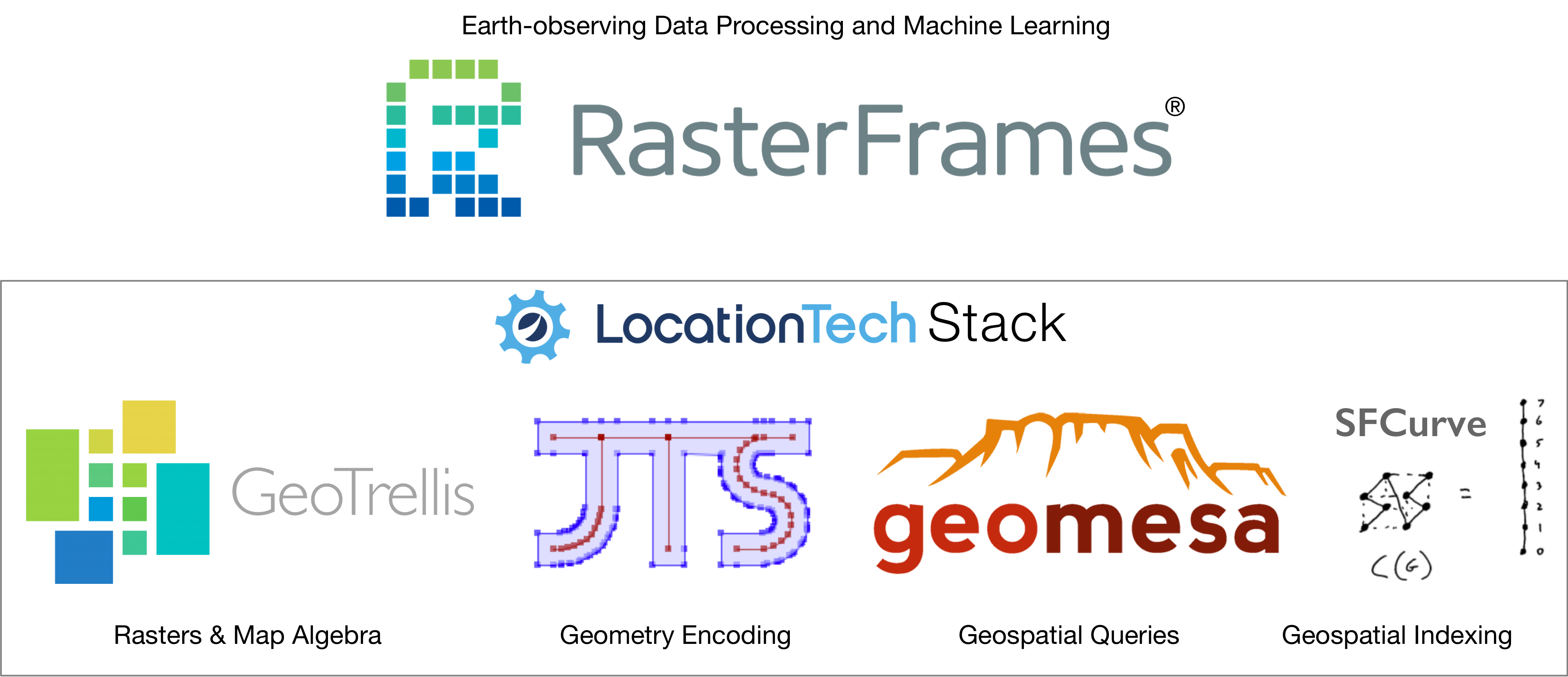
As part of the LocationTech family of projects, RasterFrames builds upon the strong foundations provided by GeoMesa (spatial operations) , GeoTrellis (raster operations), JTS (geometry modeling) and SFCurve (spatiotemporal indexing), integrating various aspects of these projects into a unified, DataFrame-centric analytics package.

License
RasterFrames is released under the commercial-friendly Apache 2.0 open source license.
To learn more, please see the Getting Started section of this manual.
The source code can be found on GitHub at locationtech/rasterframes.
Commercial Support
As the sponsors and developers of RasterFrames, Astraea, Inc. is uniquely positioned to expand its capabilities. If you need additional functionality or just some architectural guidance to get your project off to the right start, we can provide a full range of consulting and development services around RasterFrames. We can be reached at info@astraea.io.
Related Links
- Gitter Channel
- Scala API Documentation
- GitHub Repository
- Astraea, Inc., the company behind RasterFrames
Detailed Contents
- Overview
- Getting Started
- Concepts
- Raster Data I/O
- Vector Data
- Raster Processing
- Machine Learning
- NumPy and Pandas
- IPython/Jupyter Extensions
- Scala and SQL
- Function Reference
- List of Available SQL and Python Functions
- Vector Operations
- Tile Metadata and Mutation
- Tile Creation
- Masking and NoData
- Local Map Algebra
- rf_local_add
- rf_local_subtract
- rf_local_multiply
- rf_local_divide
- rf_normalized_difference
- rf_local_less
- rf_local_less_equal
- rf_local_greater
- rf_local_greater_equal
- rf_local_equal
- rf_local_unequal
- rf_local_is_in
- rf_local_extract_bits
- rf_local_min
- rf_local_max
- rf_local_clamp
- rf_where
- rf_rescale
- rf_standardize
- rf_round
- rf_abs
- rf_exp
- rf_exp10
- rf_exp2
- rf_expm1
- rf_log
- rf_log10
- rf_log2
- rf_log1p
- rf_sqrt
- Tile Statistics
- Aggregate Tile Statistics
- Tile Local Aggregate Statistics
- Converting Tiles
- Release Notes